
Experience Exceptional Precision and Insight You Can Trust
Discover how McClure360’s licensed and insured drone services deliver accurate inspections, mapping, and high-quality aerial imagery.
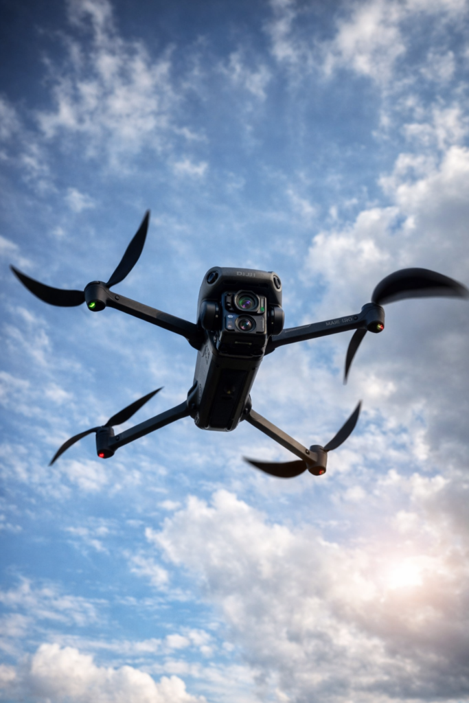
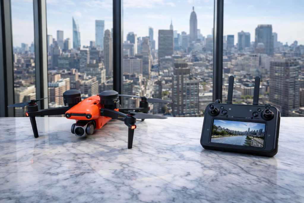
Licensed FAA-Compliant Pilots
Our FAA Part 107 licensed pilots conduct safe, compliant flights focused on accurate data capture for inspections, mapping, and documentation.

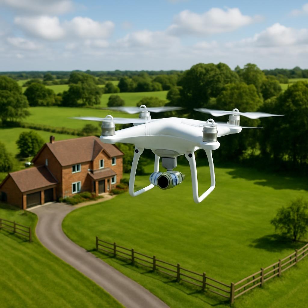
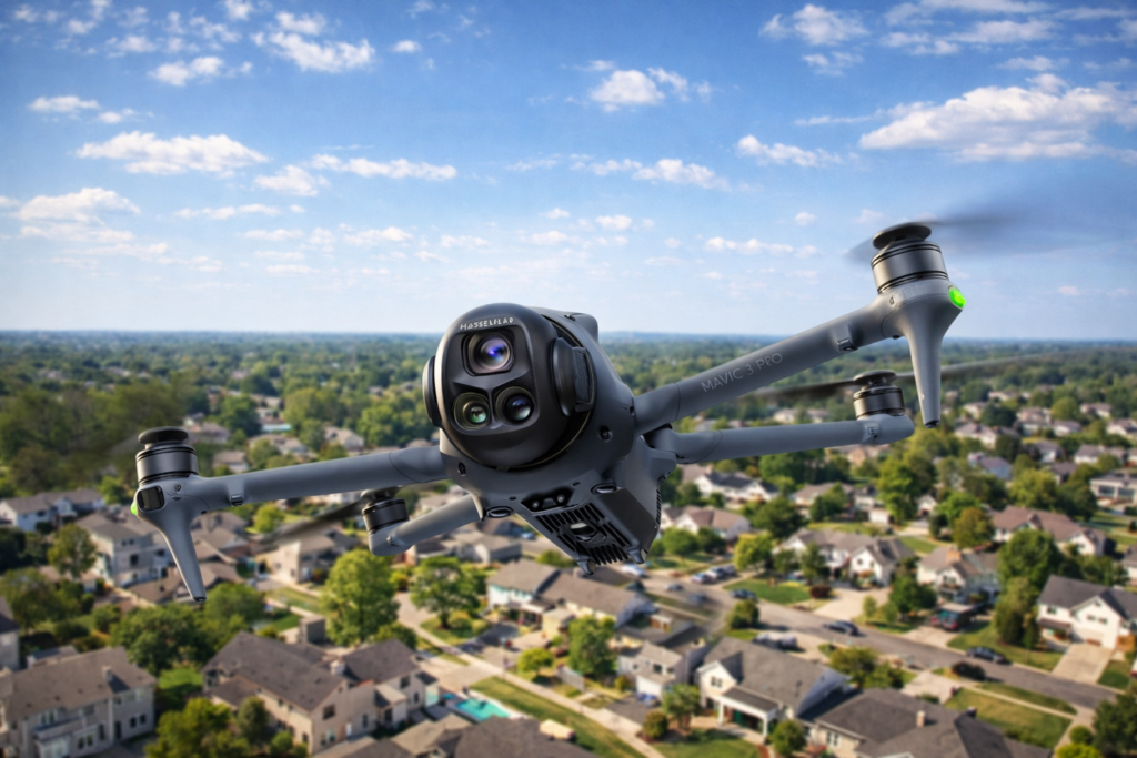
High-Resolution Aerial Imaging
Using professional drone platforms, we capture high-resolution imagery suitable for roof inspections, property documentation, and real estate marketing.
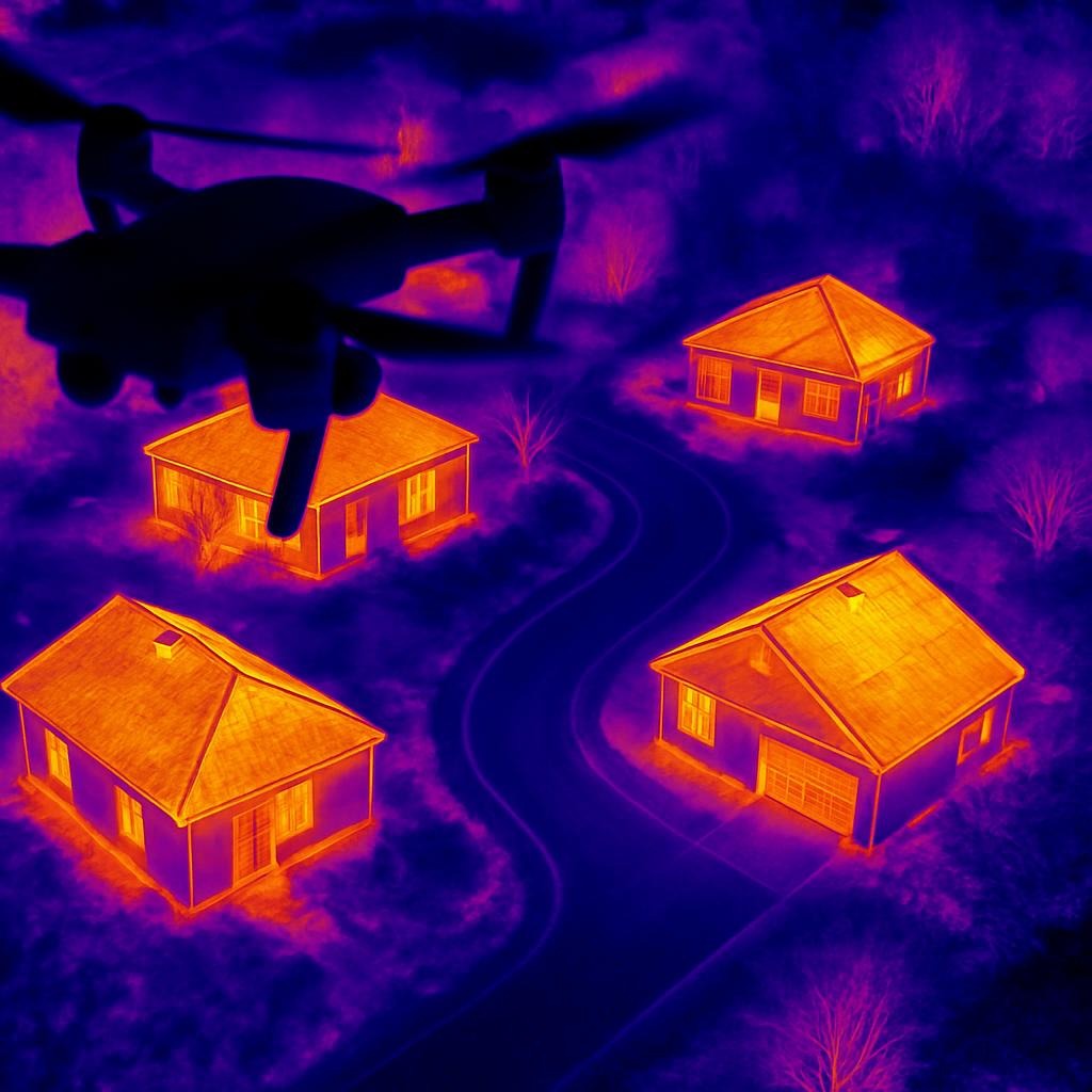
Comprehensive Inspection Services
From residential roofs to commercial structures, our aerial inspections help identify issues early and support informed maintenance and repair decisions.
Professional Drone Inspections, Mapping & Aerial Imaging
Explore our licensed and insured drone services delivering accurate inspections, mapping, and aerial data you can rely on.
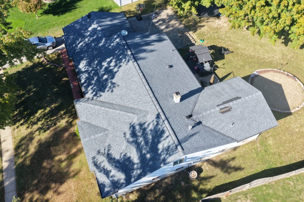
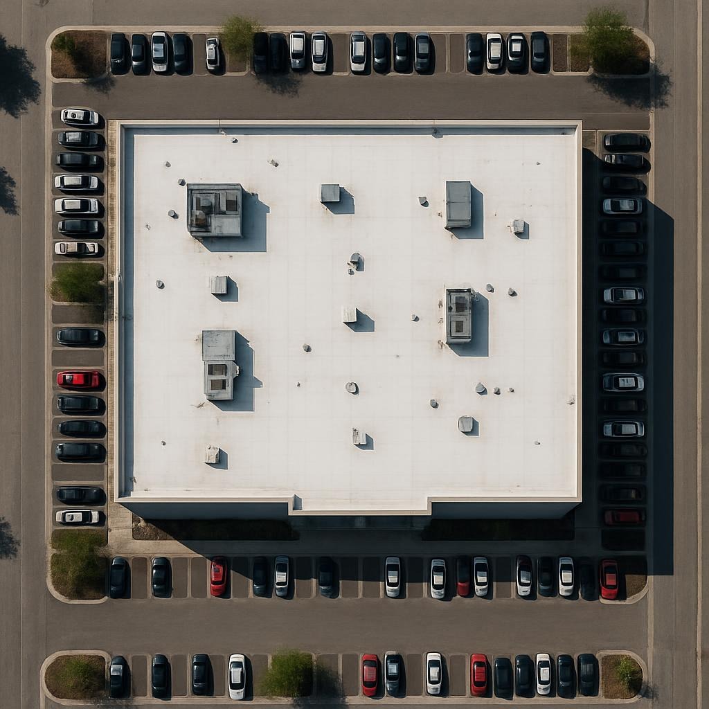
Roof Inspections
Drone-based roof inspections providing clear, high-resolution imagery to identify damage, wear, and potential issues—without ladders or manual access.
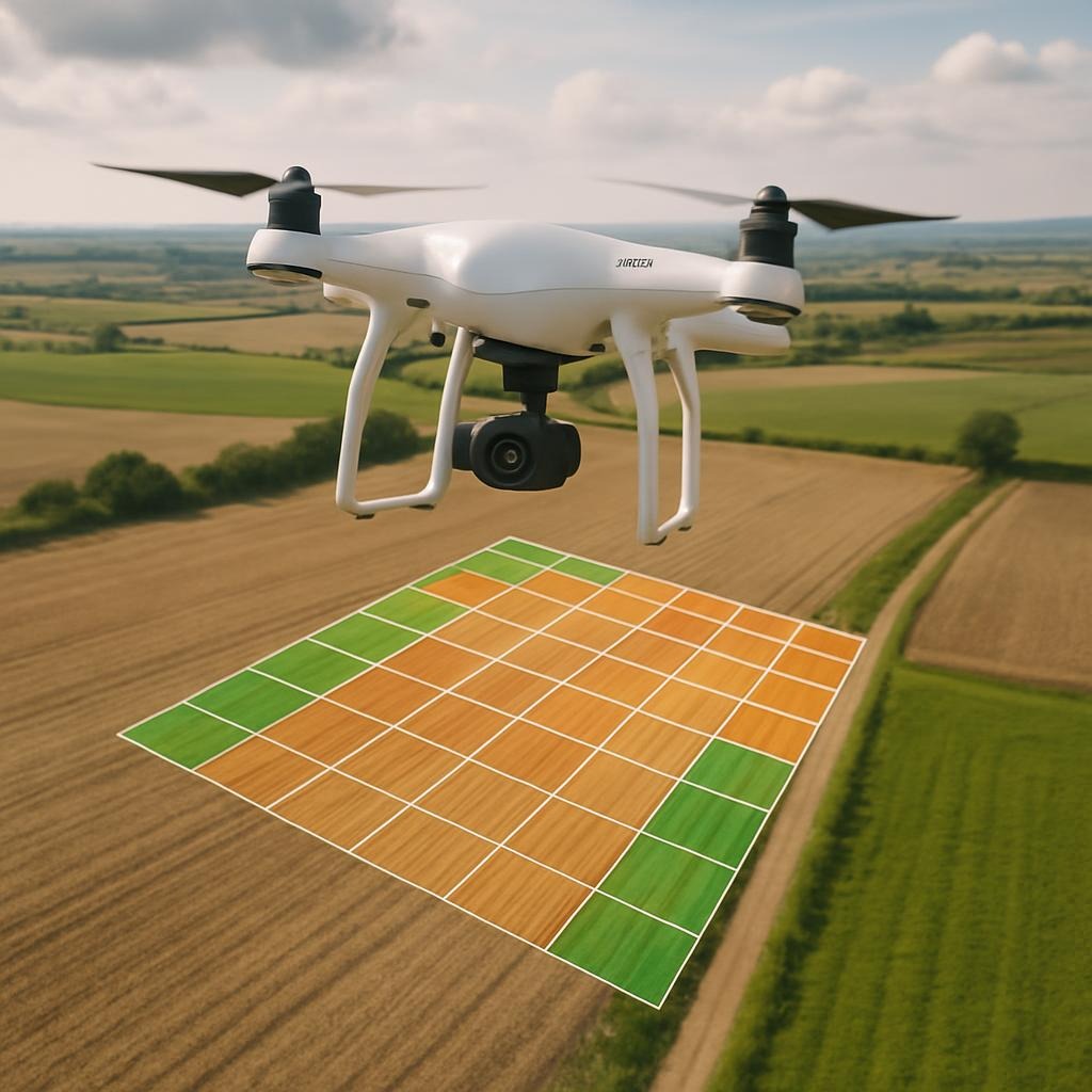
Aerial Mapping
Generate accurate maps, orthomosaics, and site documentation using professional drone mapping workflows.

Construction Monitoring
Ongoing aerial documentation to track construction progress, site conditions, and project milestones with consistent visual records.
Real Estate Photography
Professional aerial photography to enhance property listings with clear, compelling visuals for marketing and documentation.
Our Process
Discover how our licensed and insured pilots conduct aerial inspections and data capture to deliver reliable, professional results.


Step One: Consultation
We assess your project requirements, site conditions, and goals to ensure the right drone inspection or data capture approach.

Step Two: Deployment
Our FAA-certified pilots perform safe, compliant flights using professional equipment to capture accurate aerial imagery and data.

Final Step: Delivery
Receive high-quality aerial imagery, mapping outputs, and documentation you can rely on for informed decision-making.
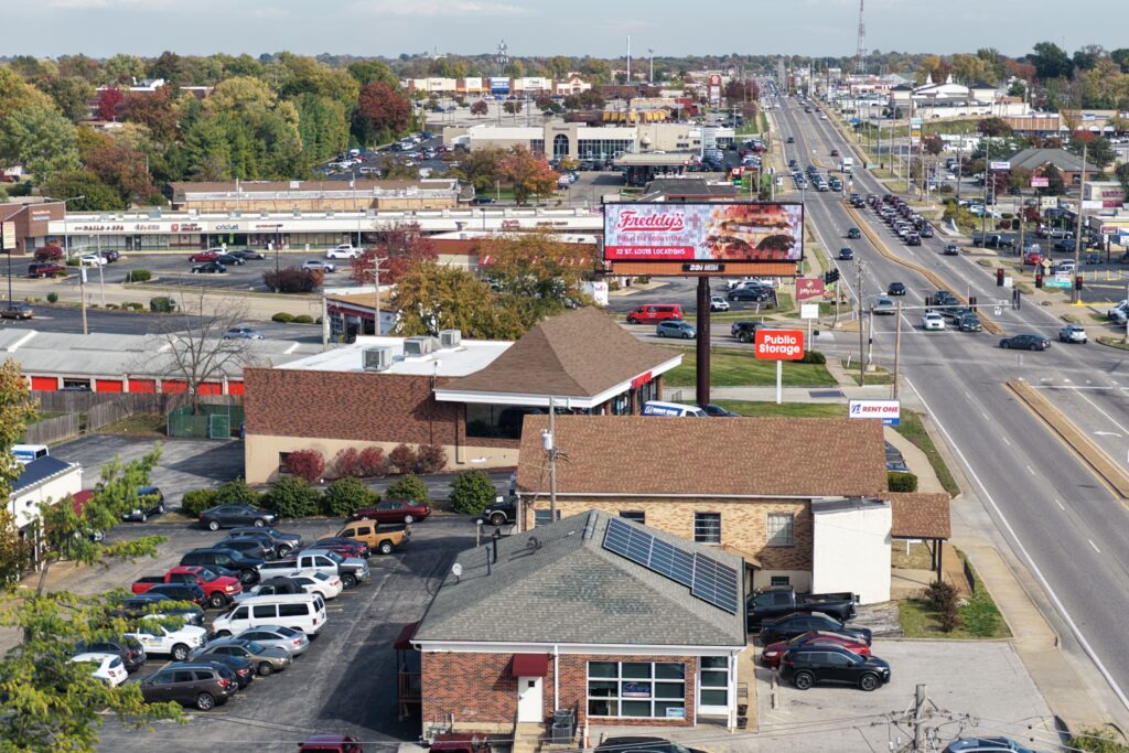
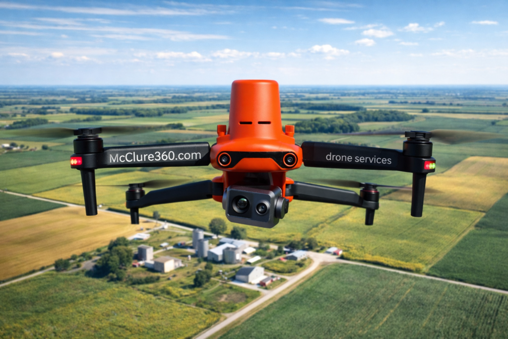
Professional Aerial Imaging & Drone Photography
A selection of real-world aerial imagery captured during inspections, property documentation, mapping, and site assessments across residential and commercial projects.

Trusted, Certified, and Platform-Verified
McClure360 operates on professional inspection and aerial services platforms and complies with FAA regulations for commercial drone operations.
Contact phone: 314-343-9588 call or text email: info@mcclure360.com